An interactive, 3D Ordnance Survey map of Stroud
I made a zoomable, draggable, 3D relief map of Stroud's five valleys, using Ordnance Survey maps.

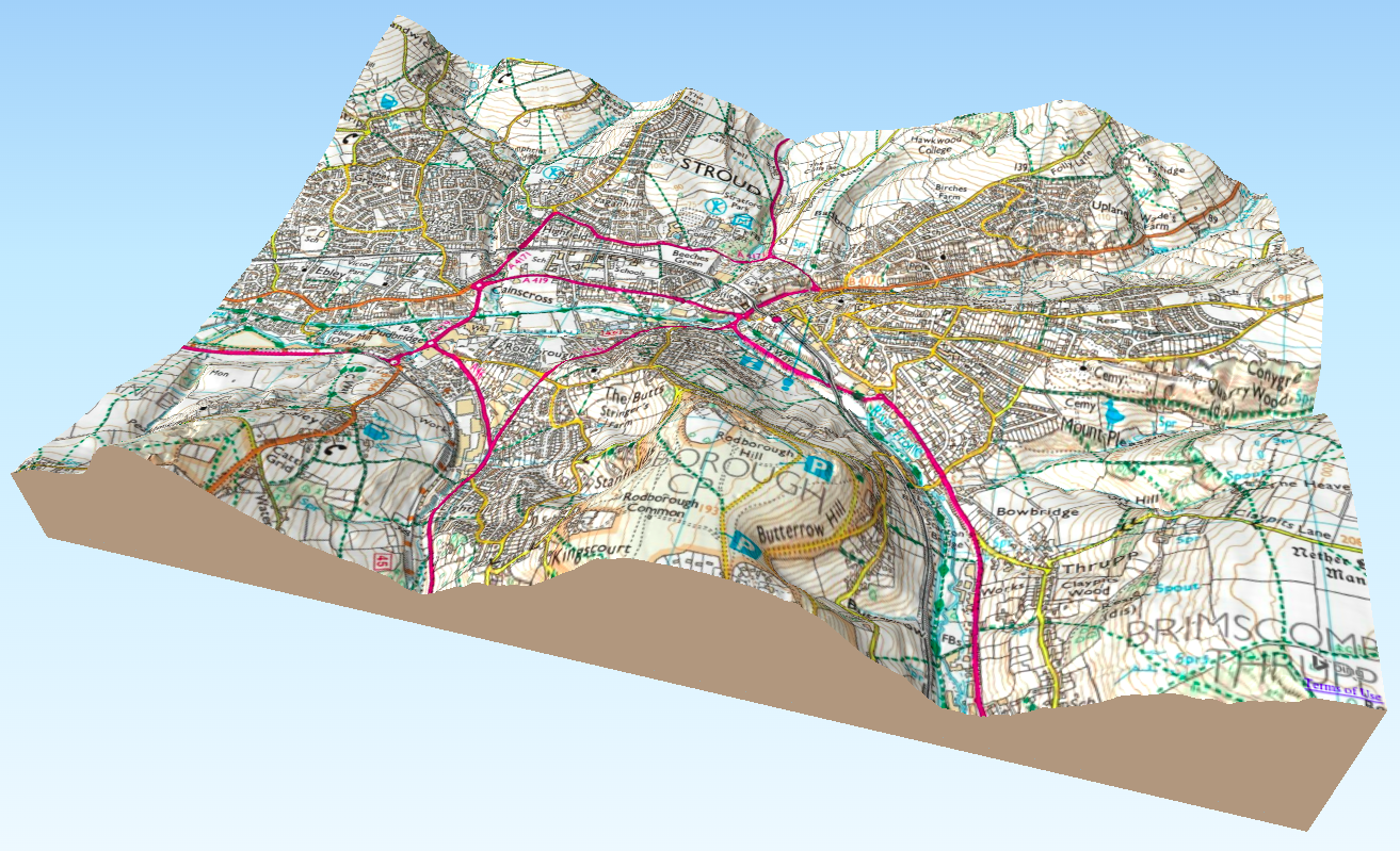
I made a zoomable, draggable, 3D relief map of the five valleys of Stroud, using Ordnance Survey maps. (Right-click to pan, scroll-wheel to zoom, control-click to rotate.)
I didn’t make detailed notes about how I did it, and it was a while ago. The brief version, as I recall it, is:
- I did it all with QGIS and plugins:
- Qgis2threejs to generate the visualisation
- I can’t remember how I got the LiDAR (DEM) models but it was something like this
- I used Bing Maps with the OpenLayers Plugin to get the OS maps
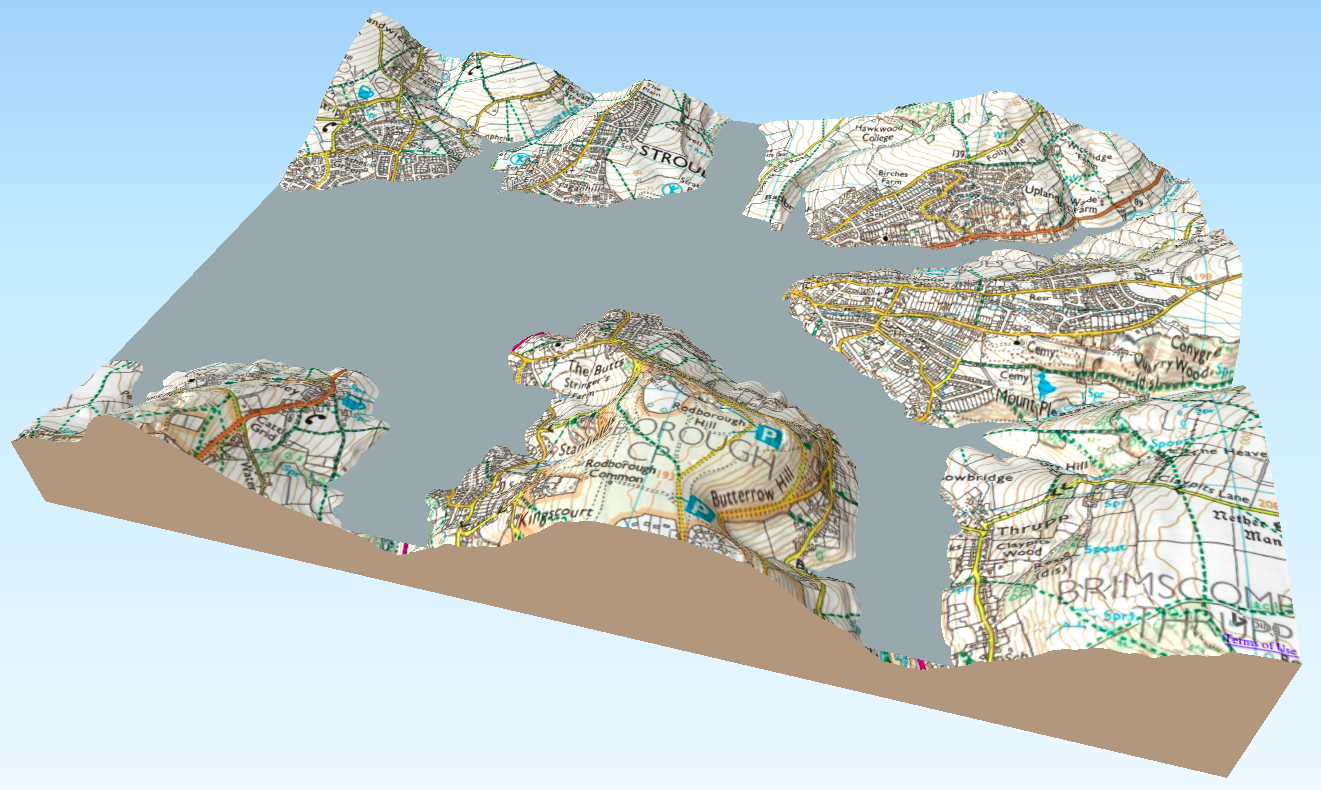
It’s interesting to see what Stroud would look like with a sea level of 60 meters:
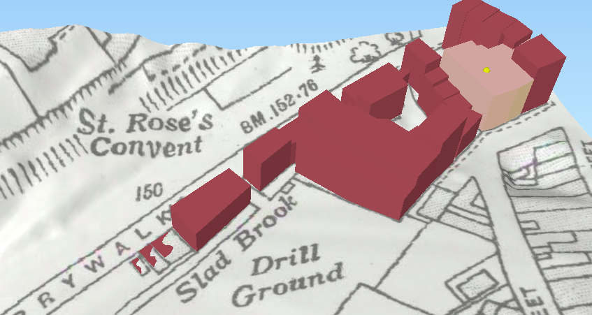
I also made one for a local historian, showing the plan and height of now-demolished buildings in Badbrook (where the cinema complex currently stands):
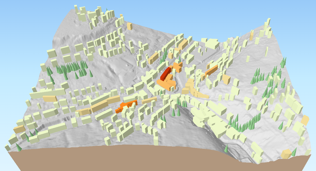
And one for my parents when they were taking part in a community project to survey the historic landscape of Holmfirth (shows listed buildings, and trees).